
 English



























































































































































































































































































































































































































































































































































































































































































































































































































































































































































Jamaica Uses GIS to Strengthen Crime Fighting
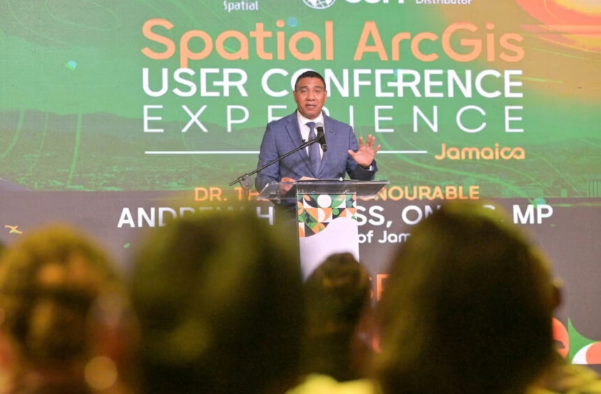
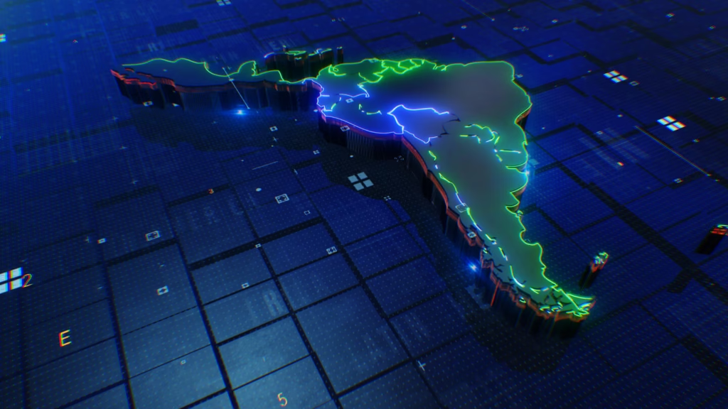
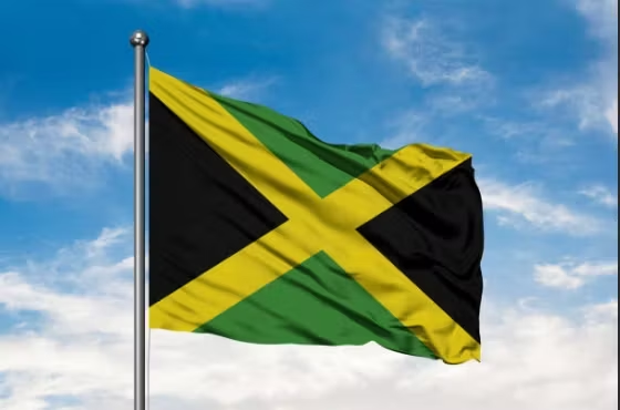
Jamaica is using Geographic Information Systems (GIS) to strengthen intelligence-led crime-fighting efforts and help security forces respond more effectively to crime and violence.
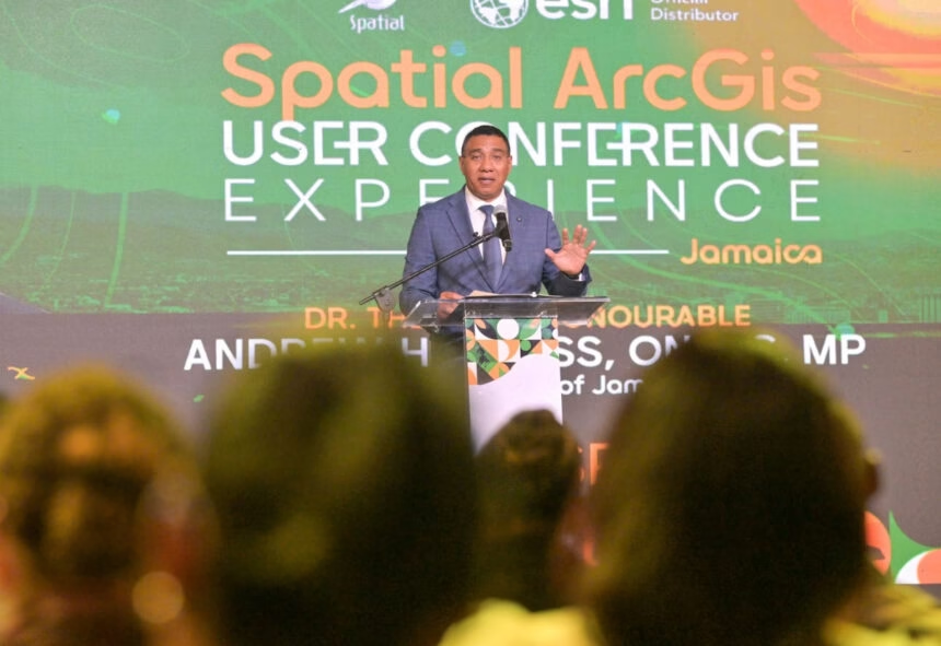
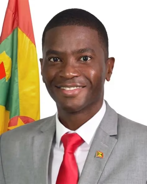
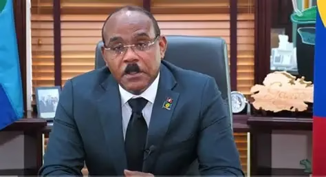
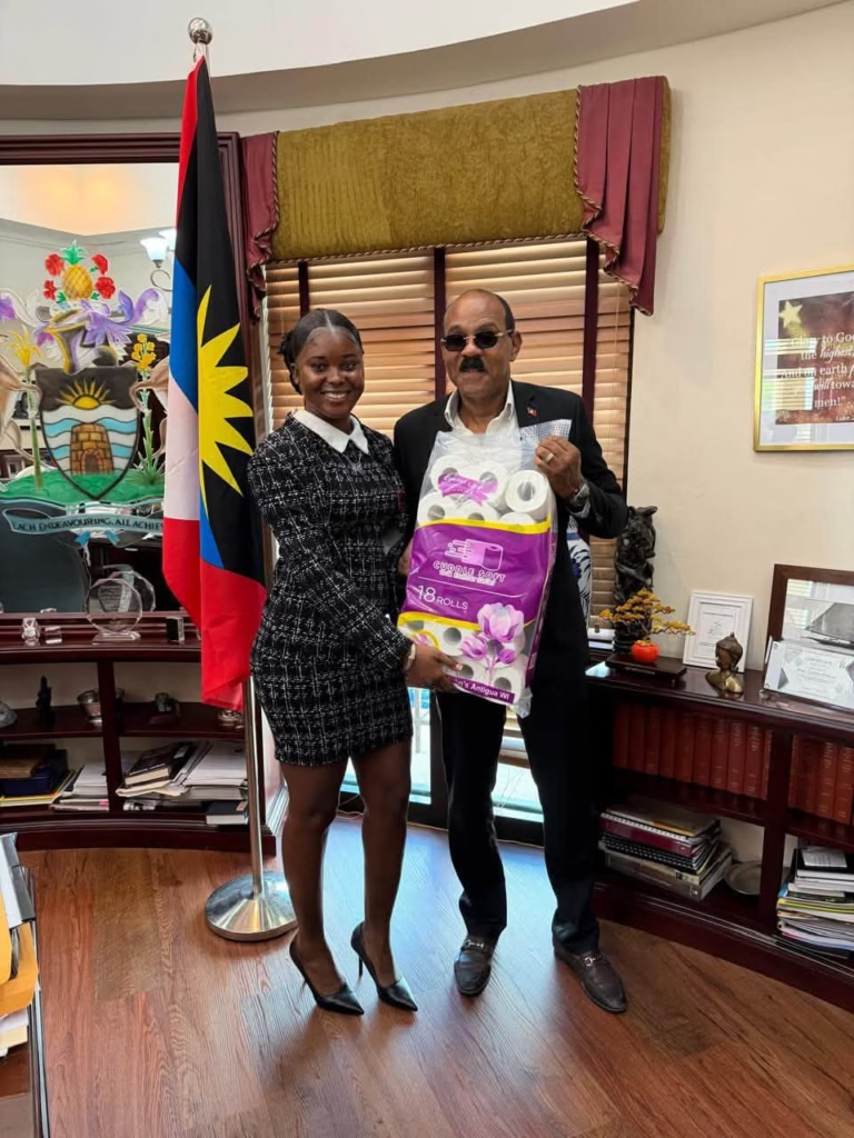
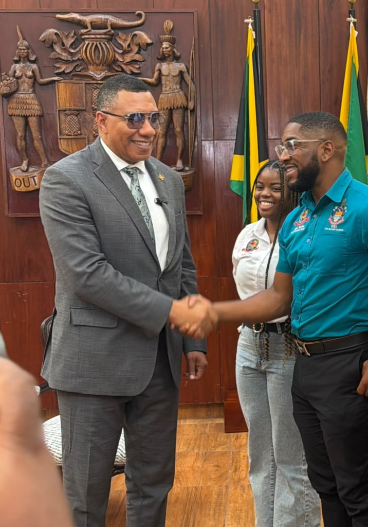
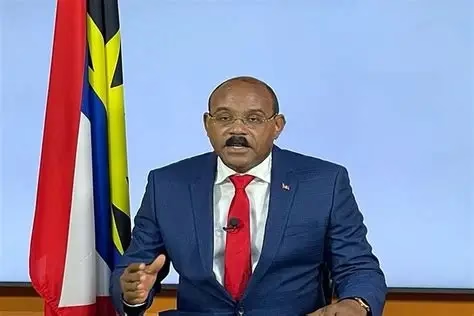
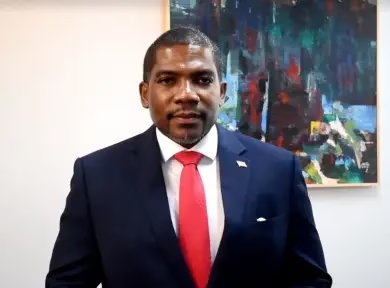
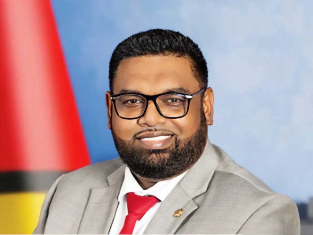
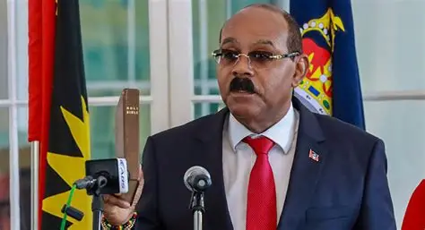
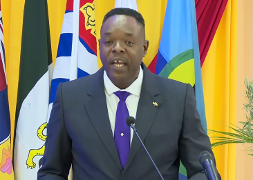
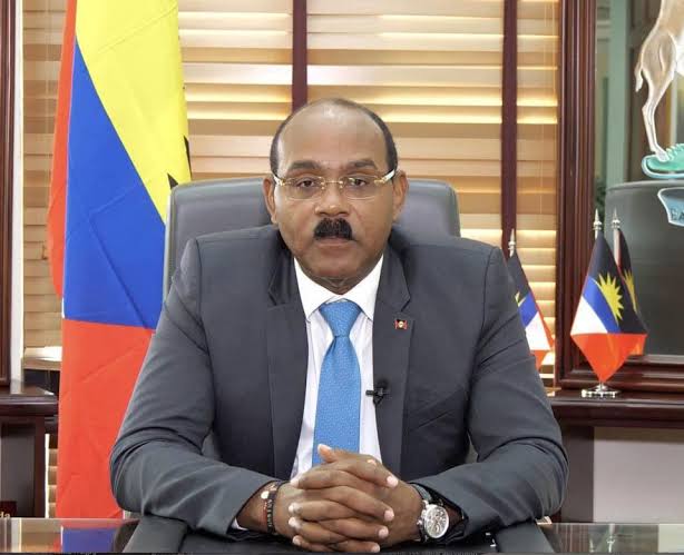
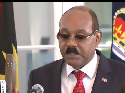
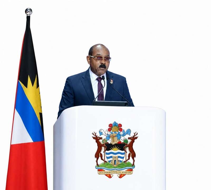
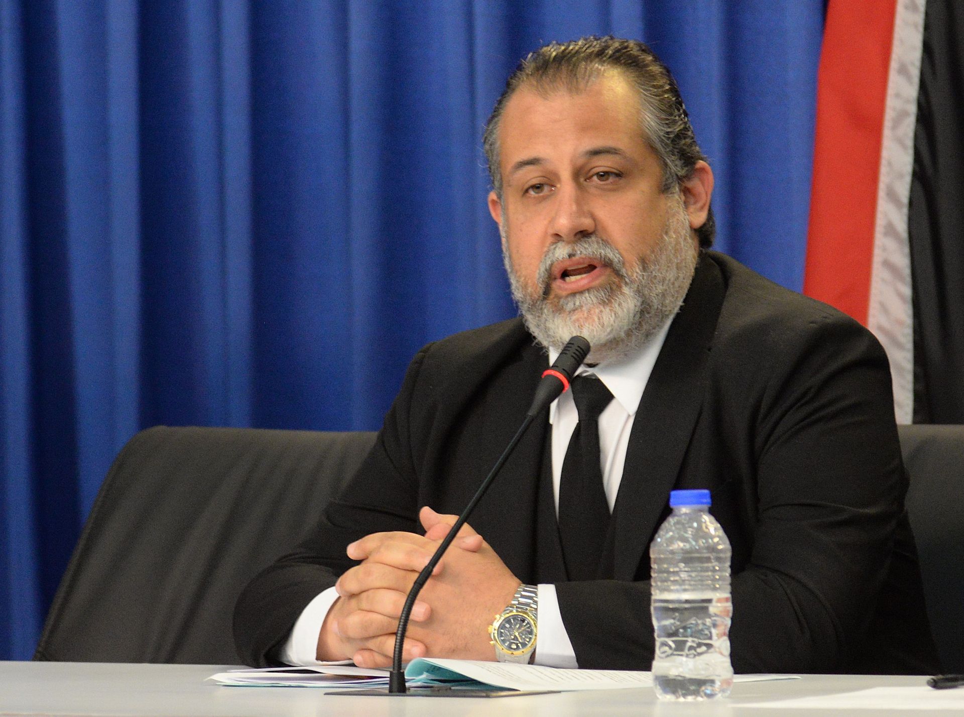
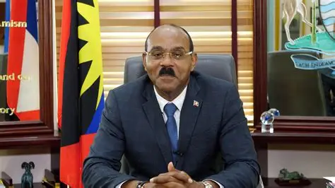
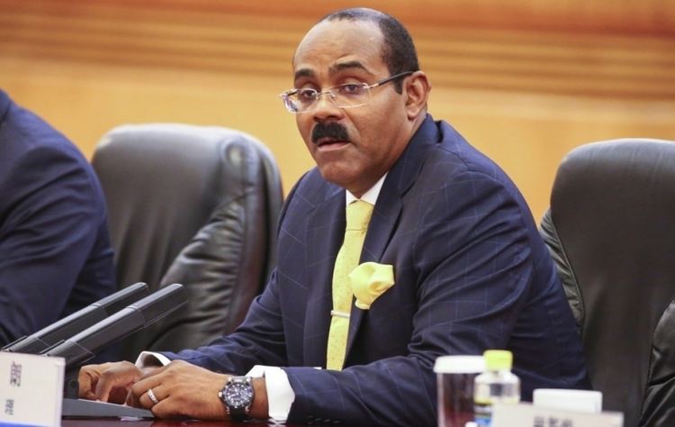
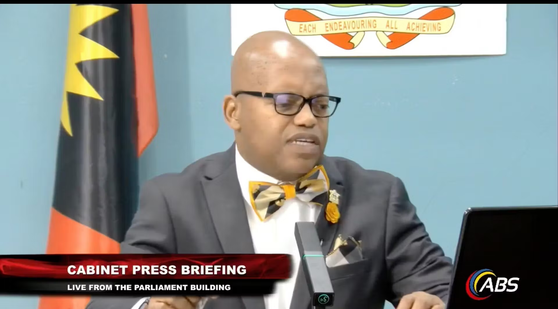
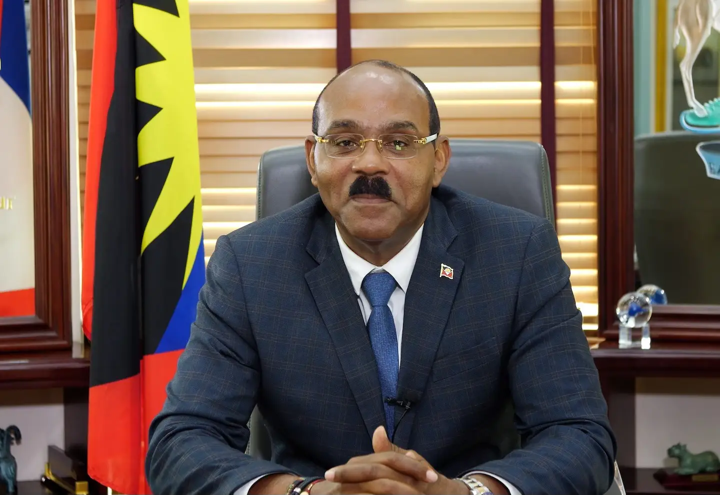
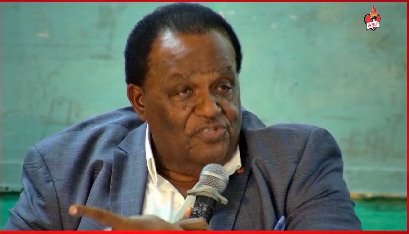
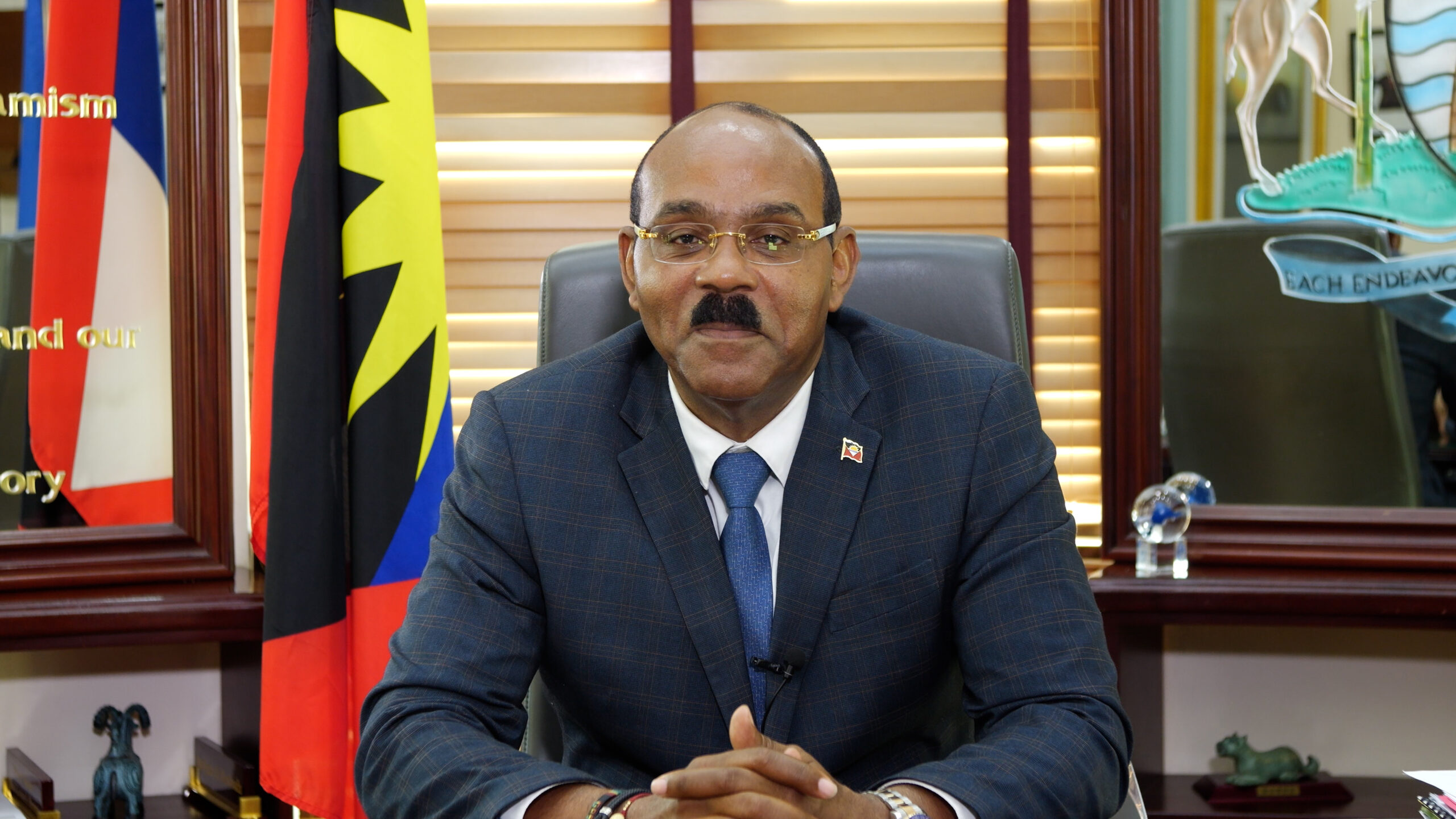
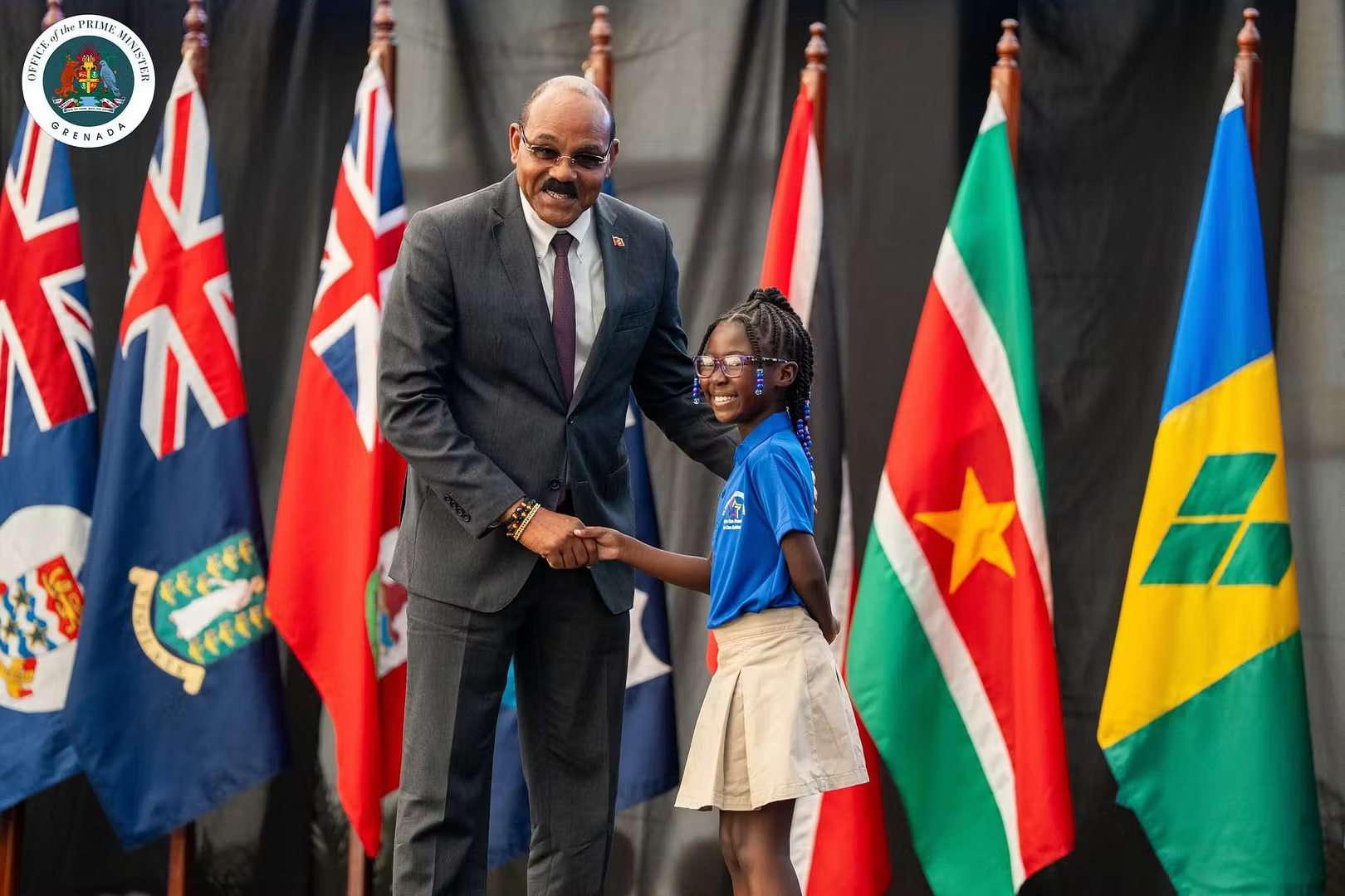
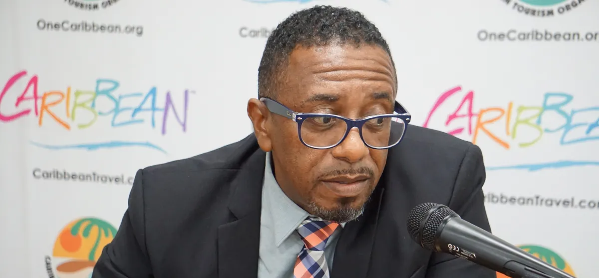
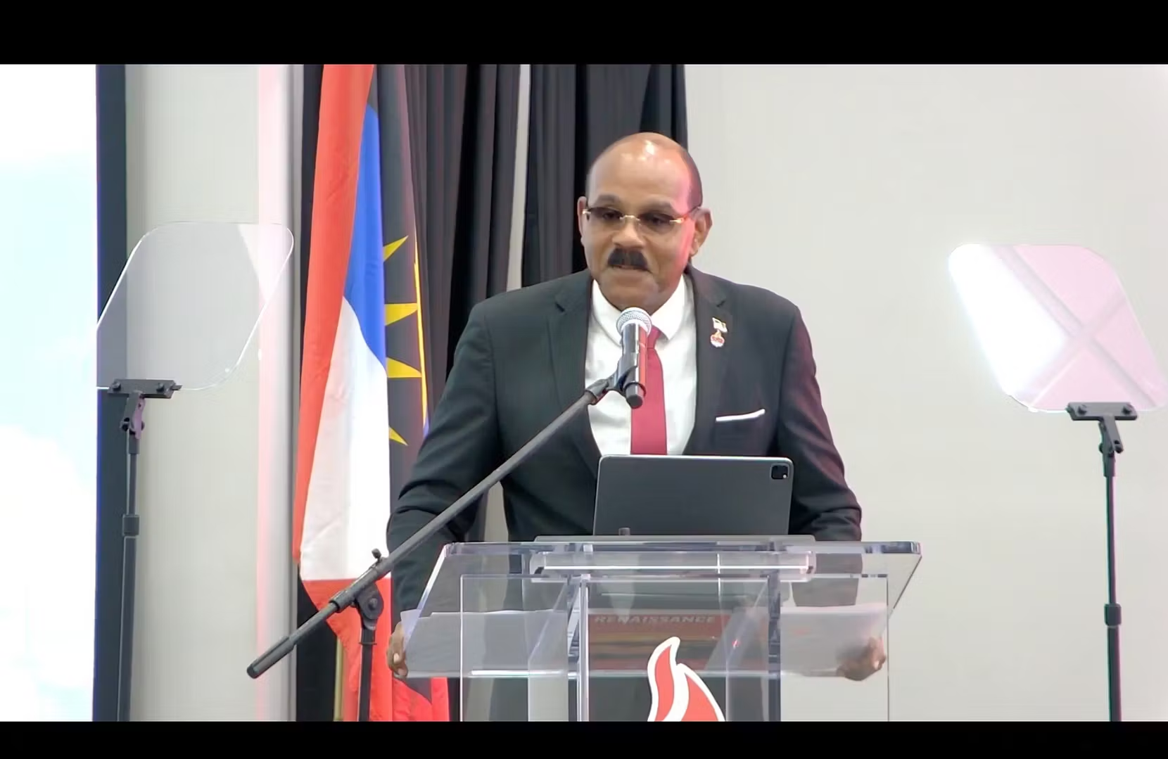
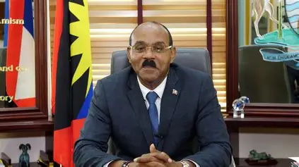
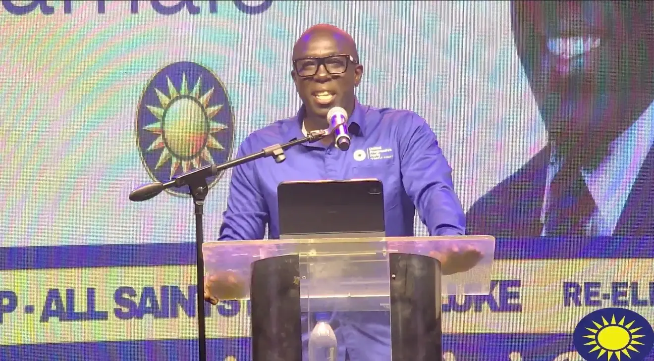
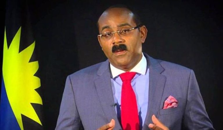
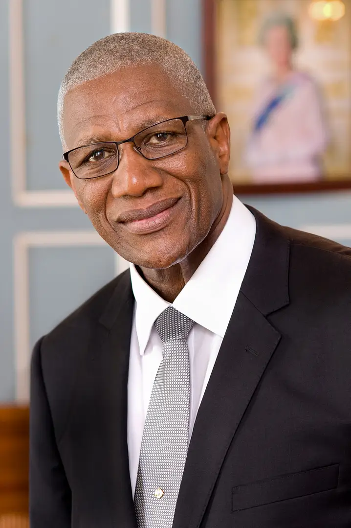
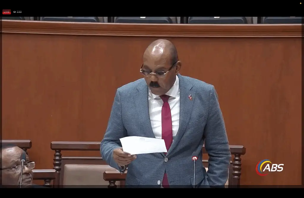
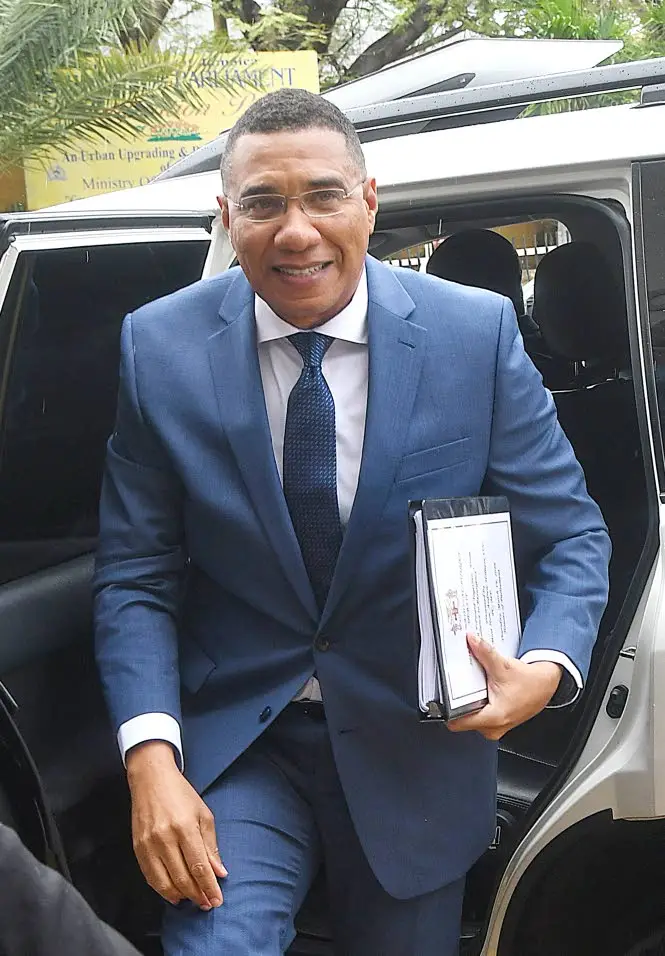
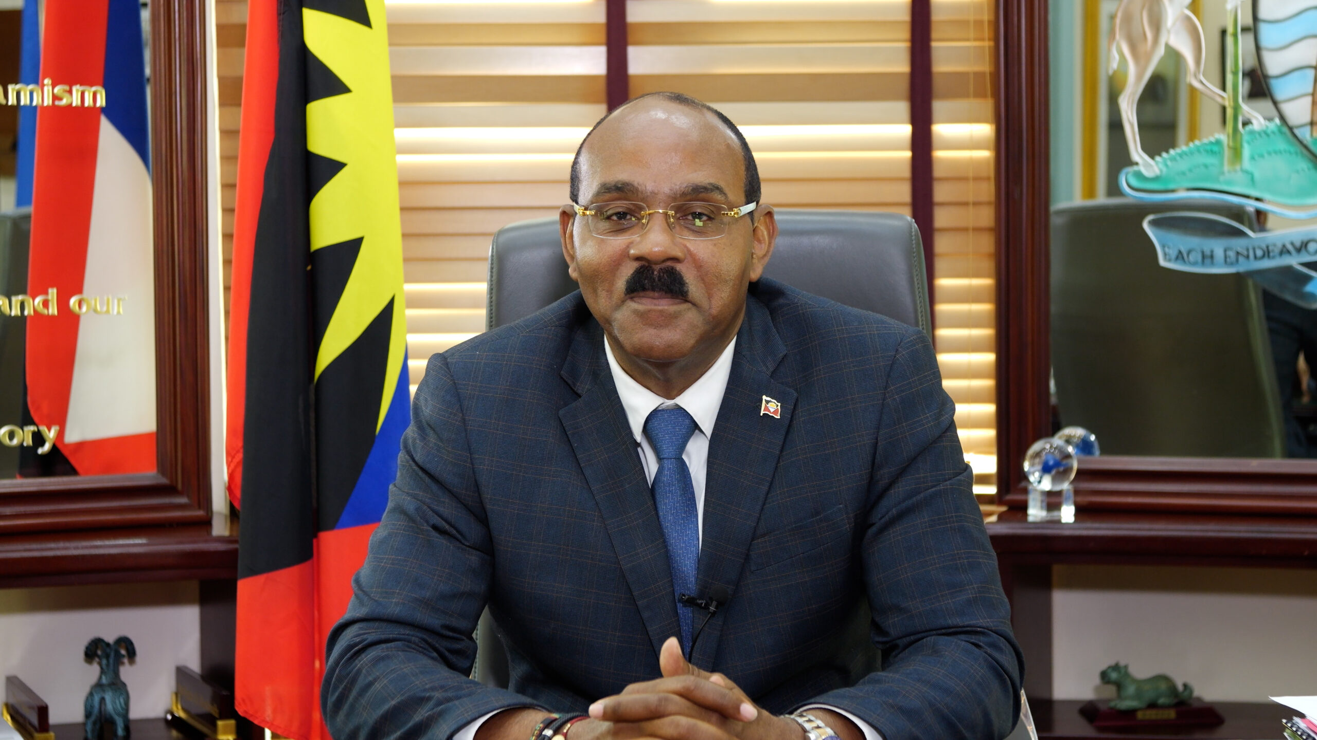
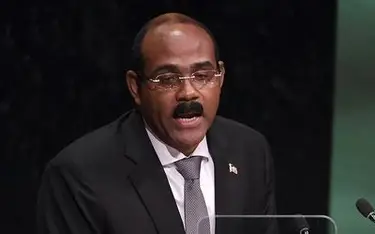
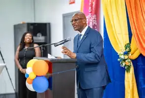
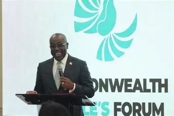
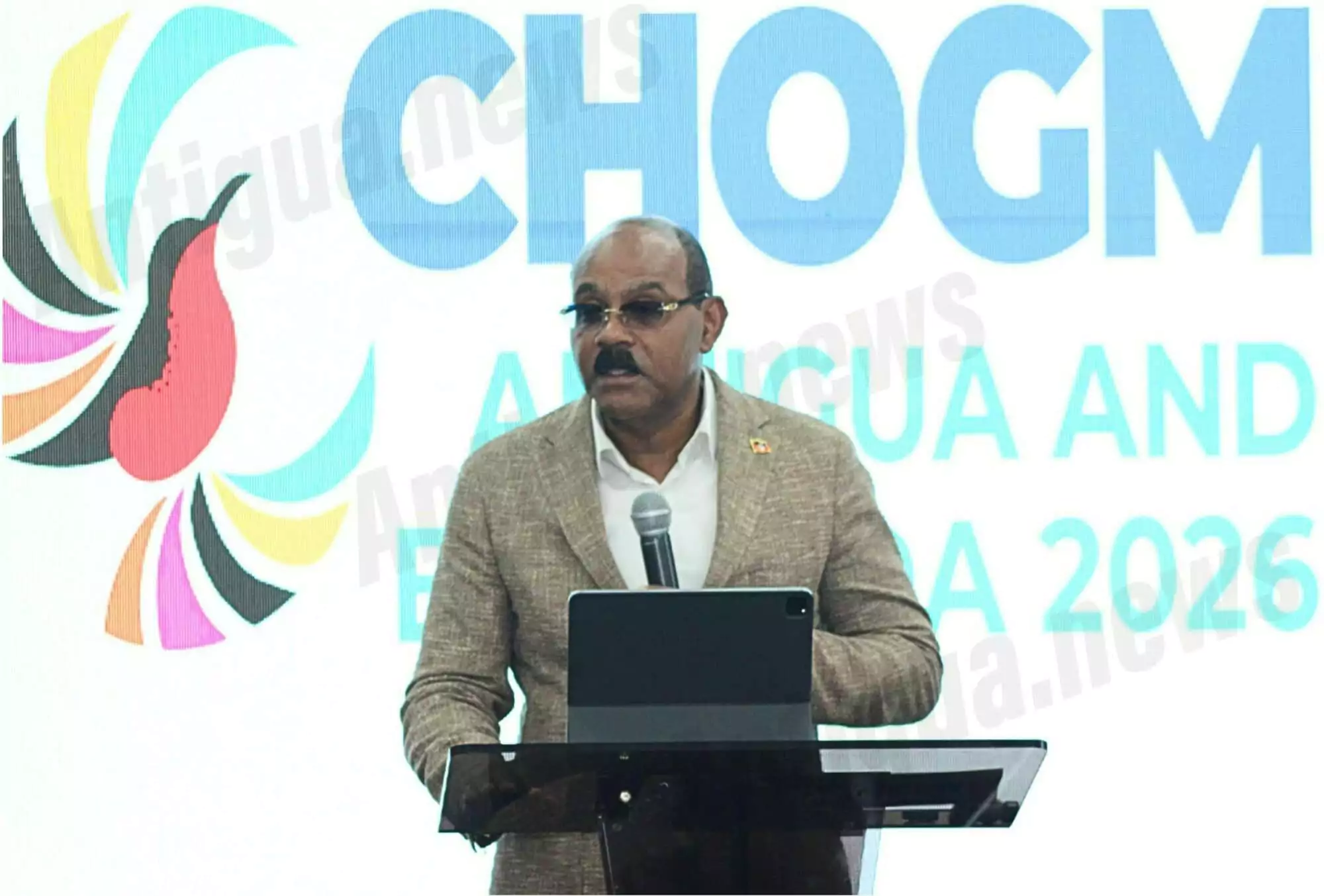
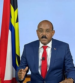
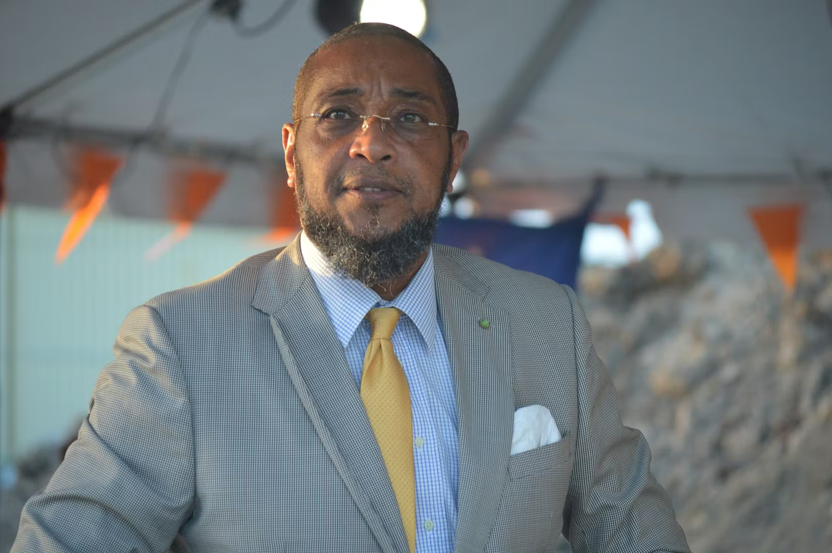
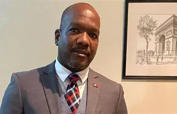
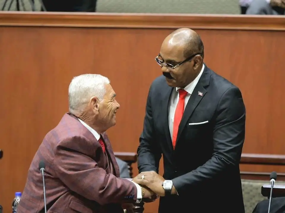
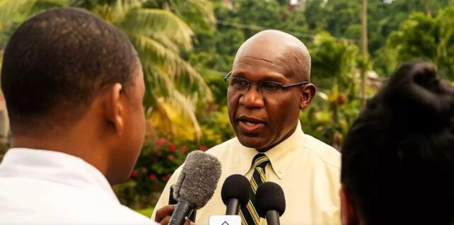
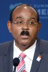
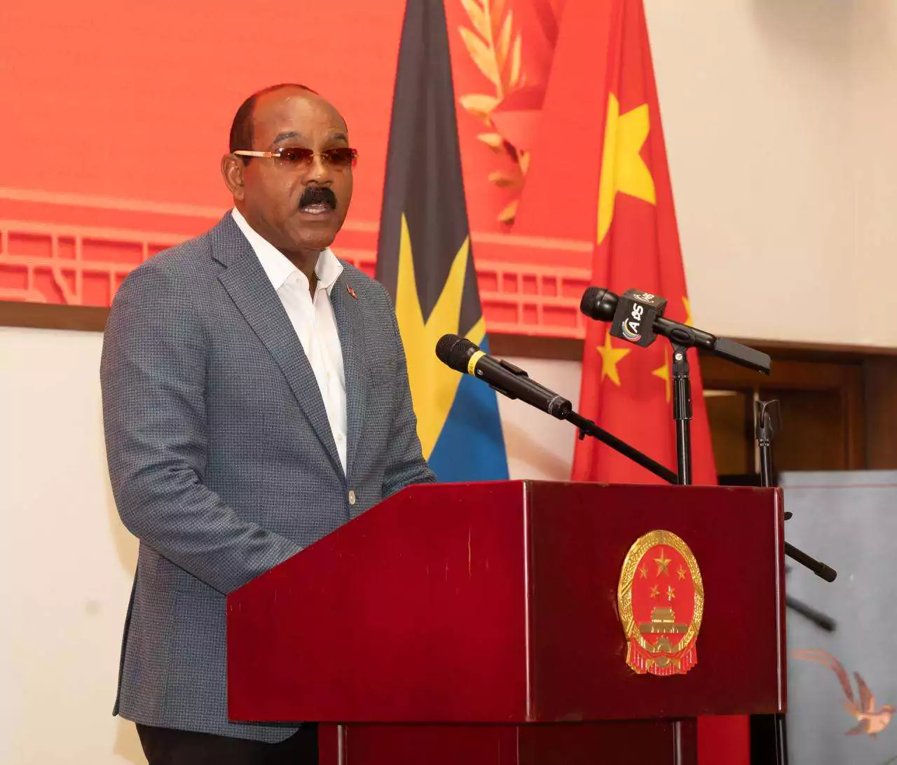
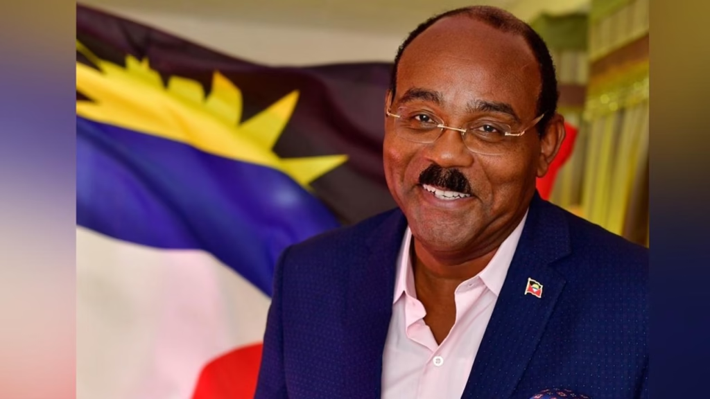
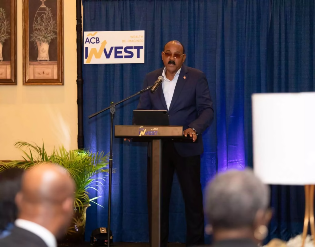
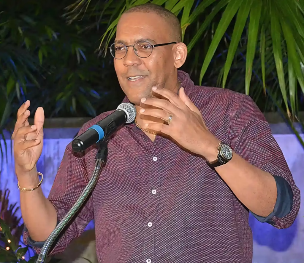
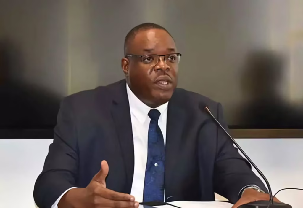
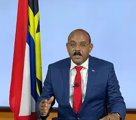
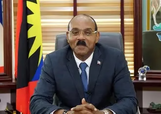
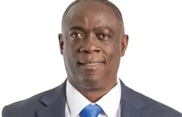
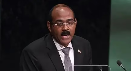
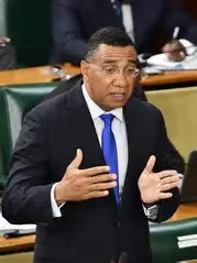
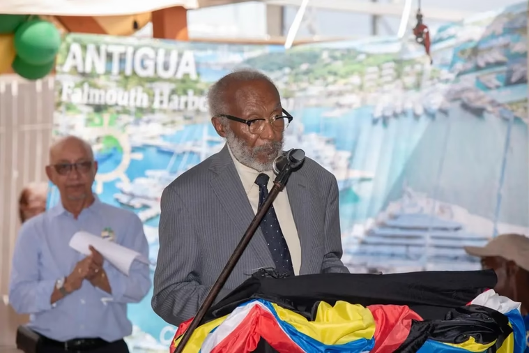
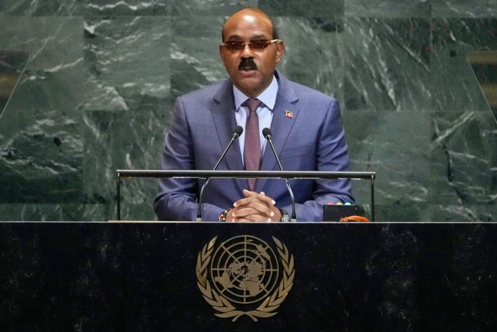
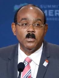
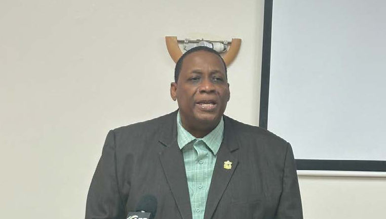
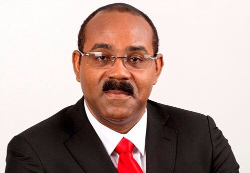
Prime Minister Andrew Holness said geographic data helps authorities identify crime hot spots, deploy security resources and track the movements of criminal gangs.
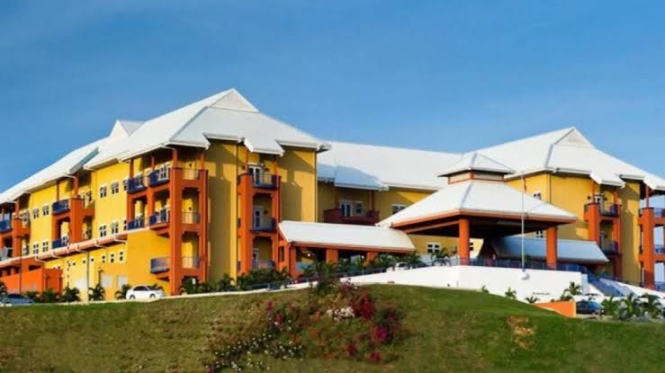
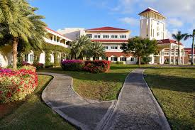
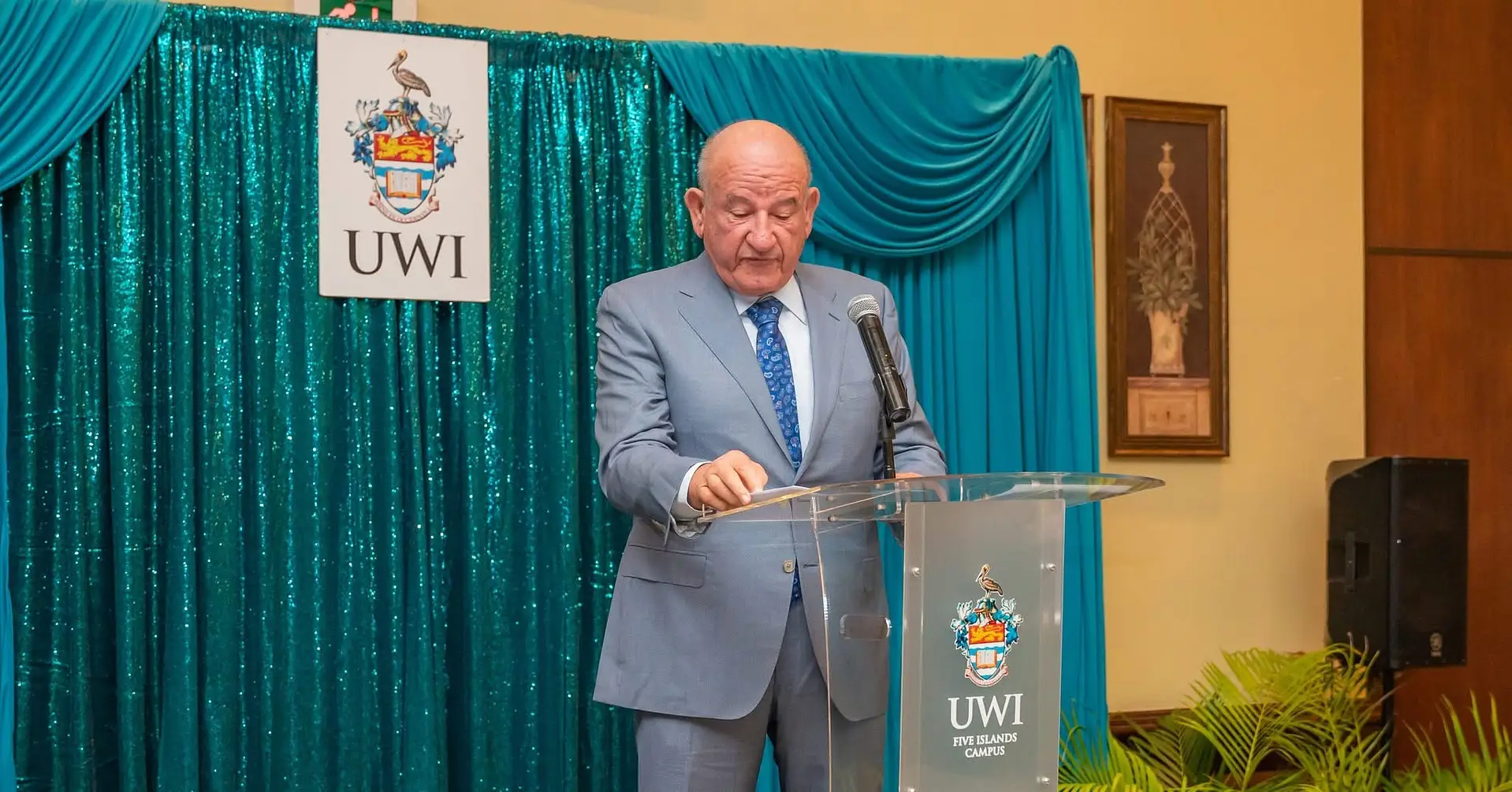
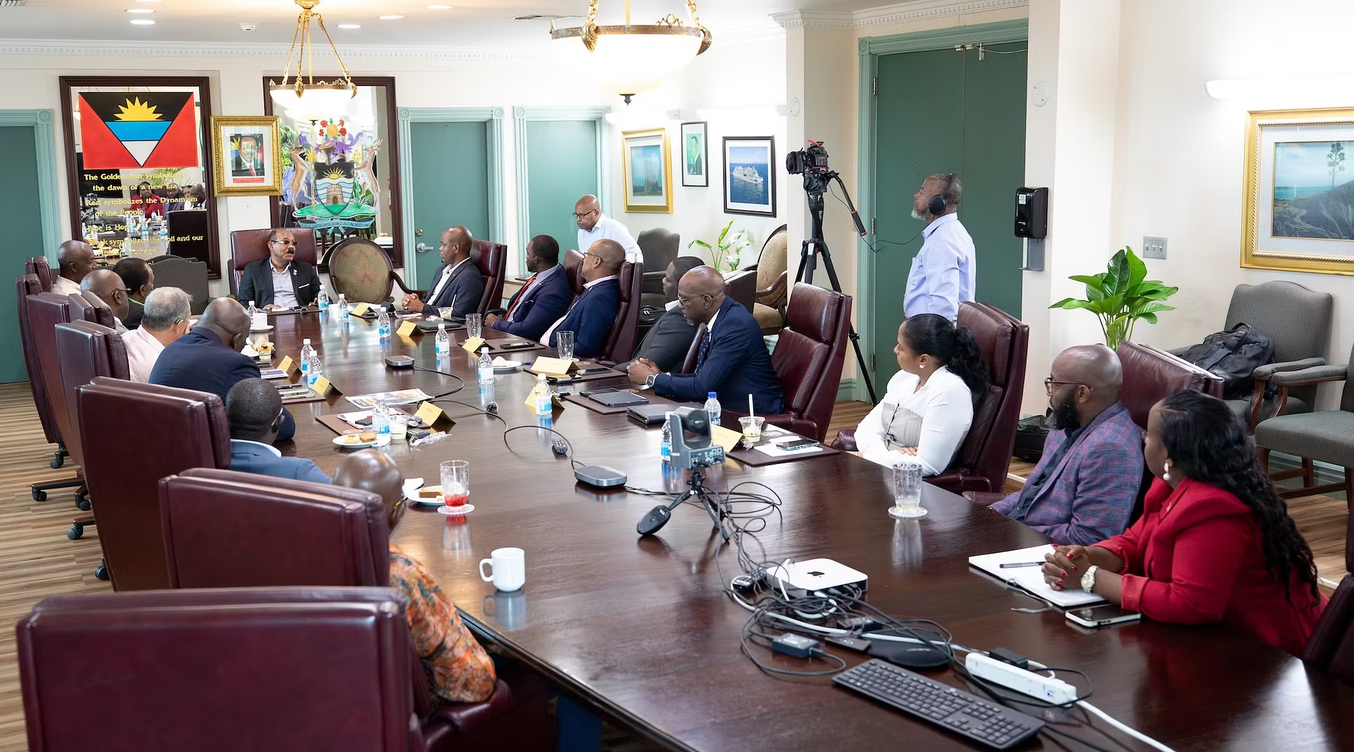
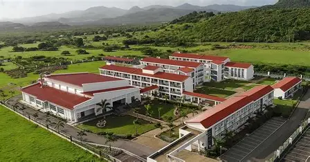
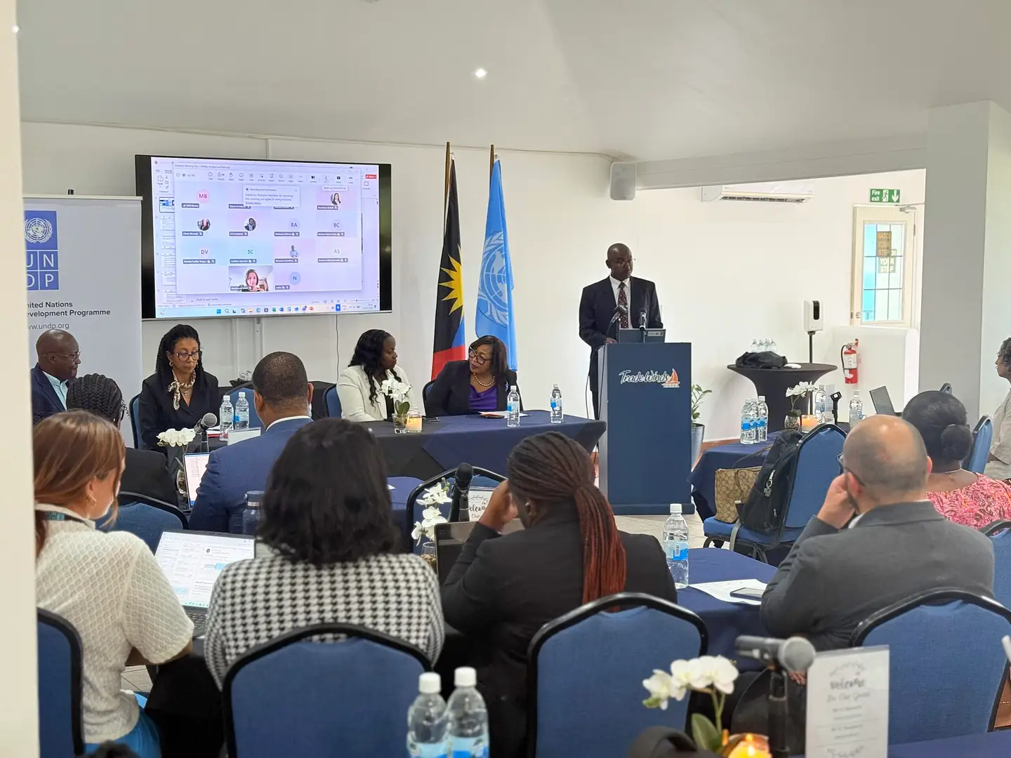
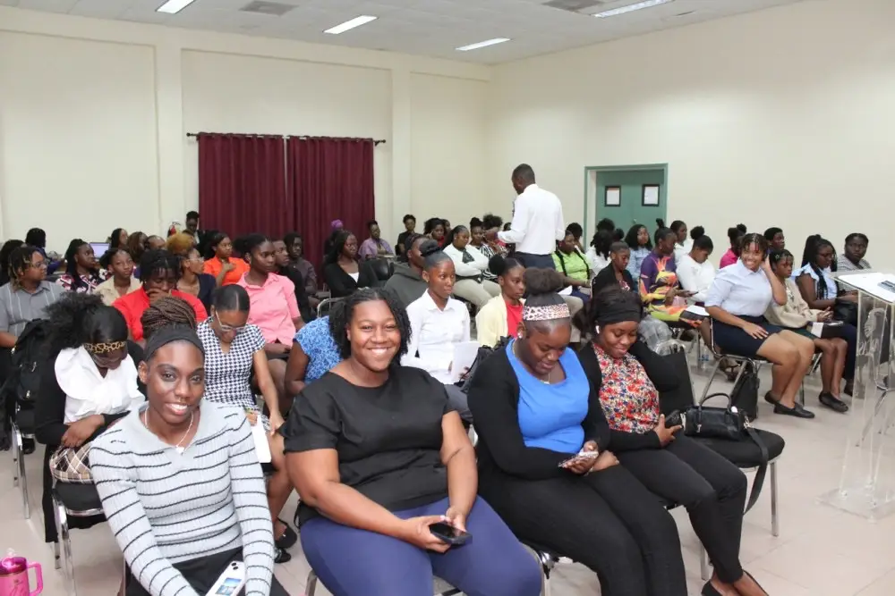
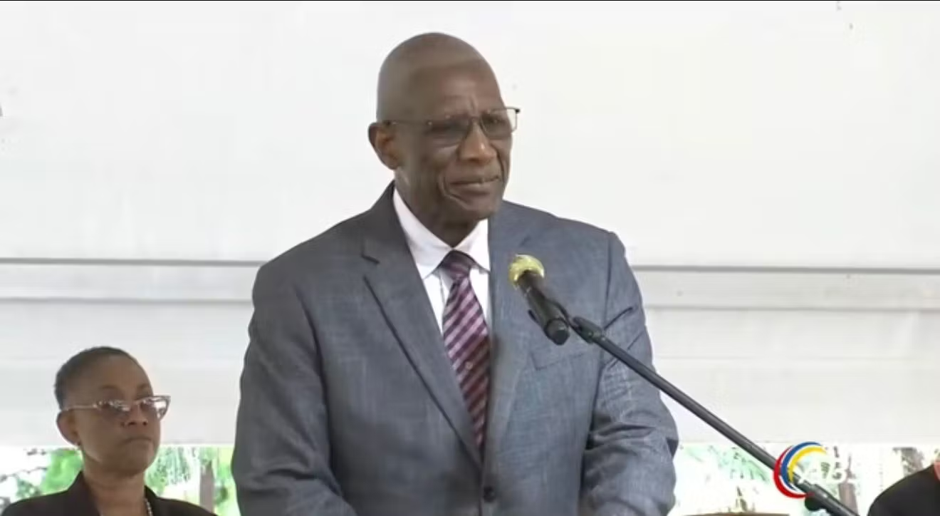
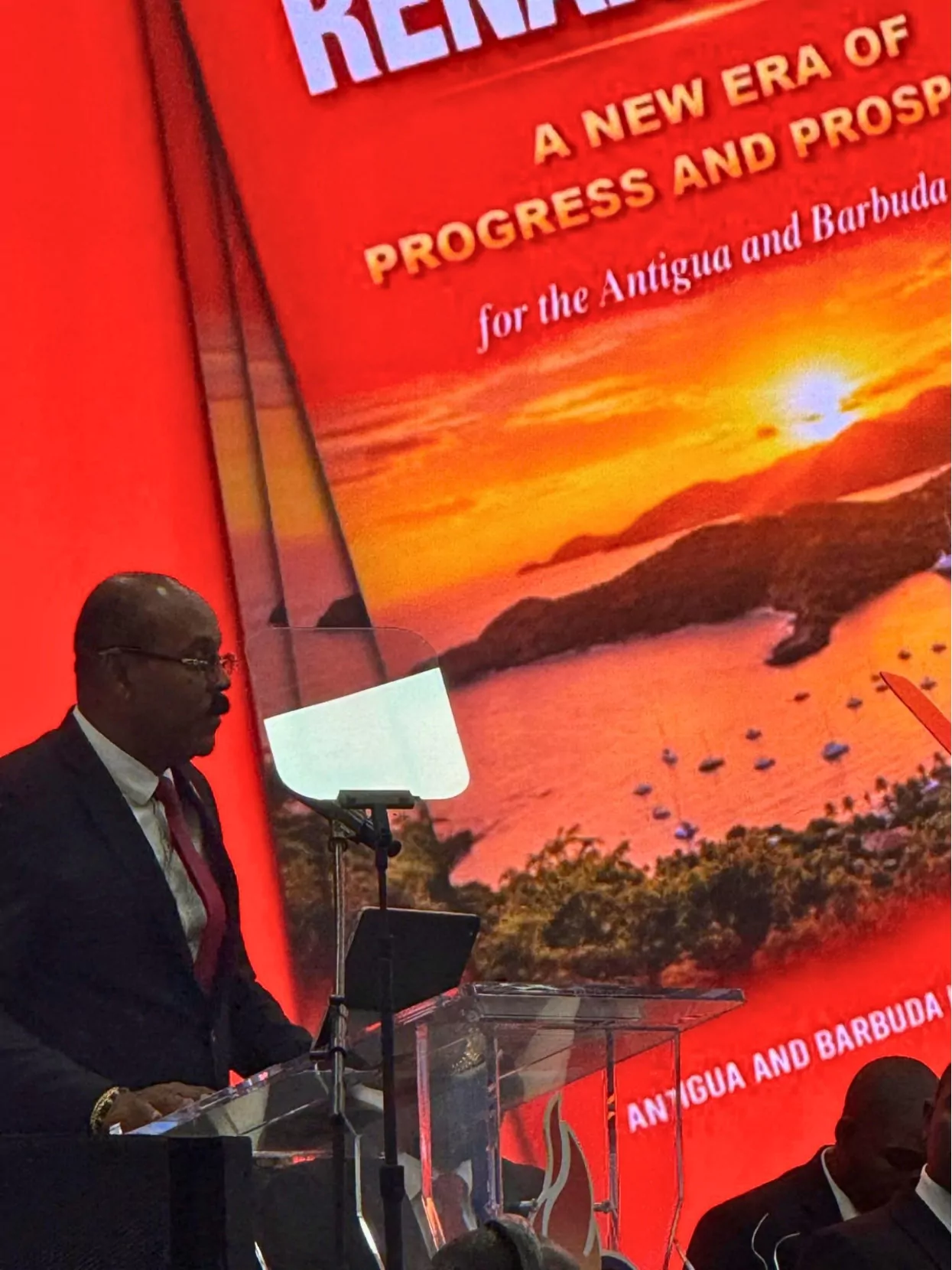
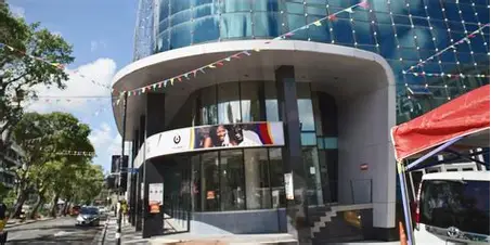
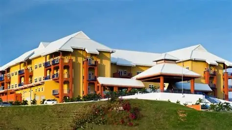
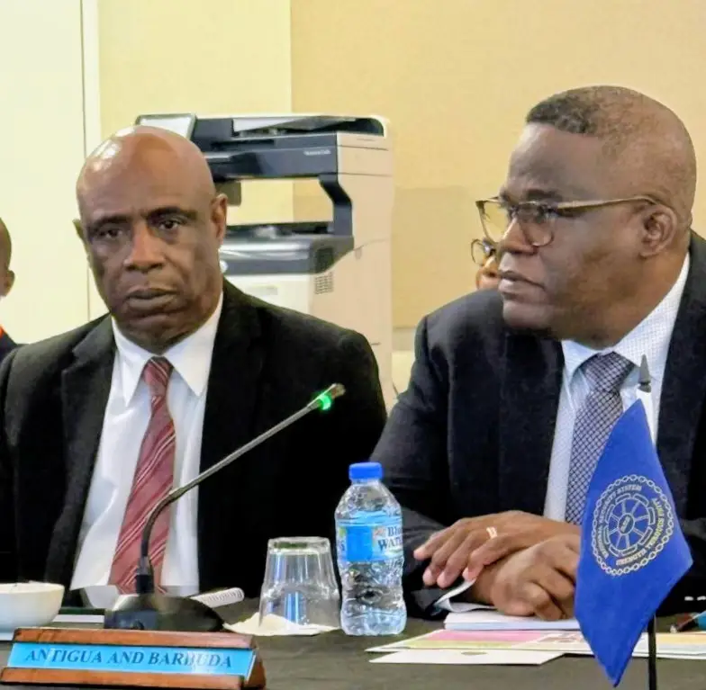
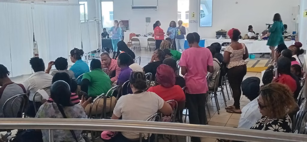
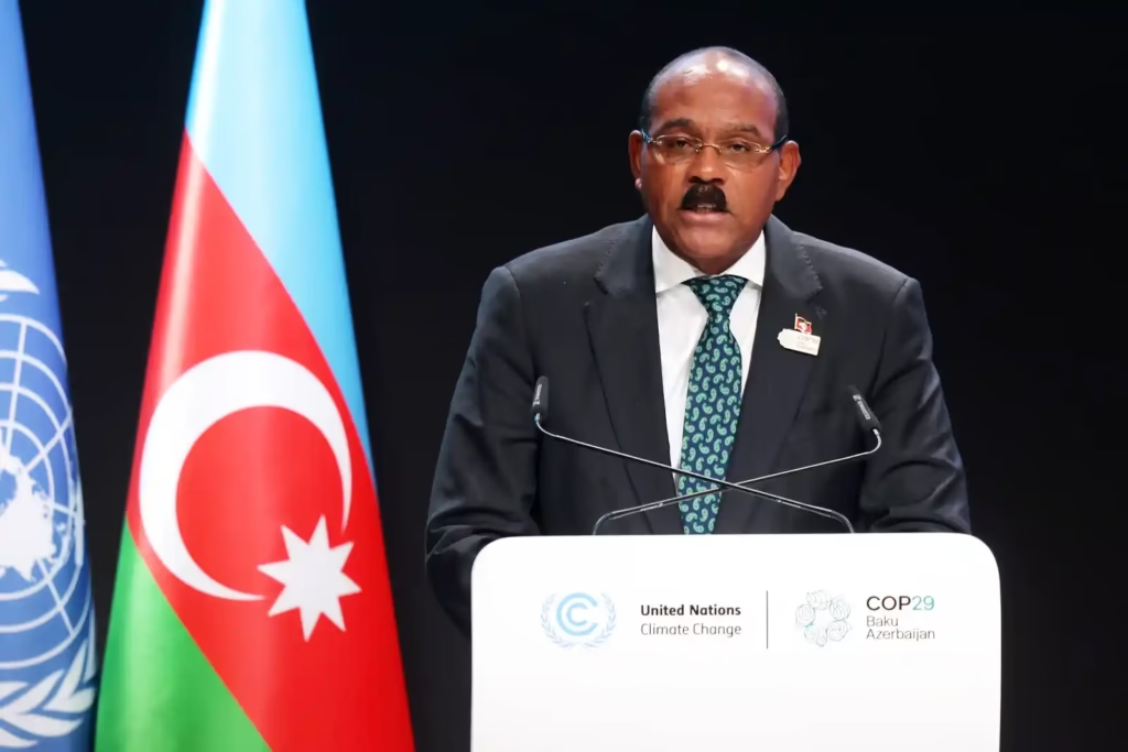
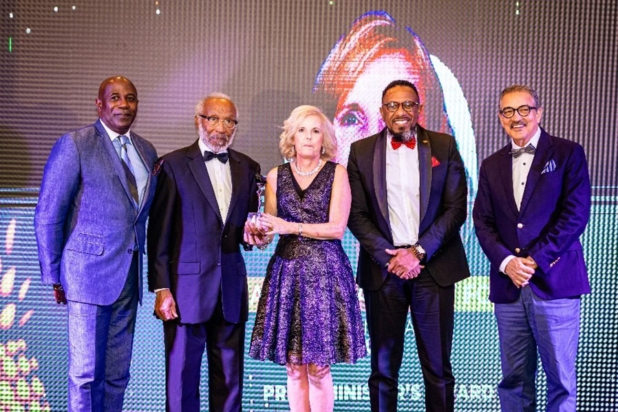
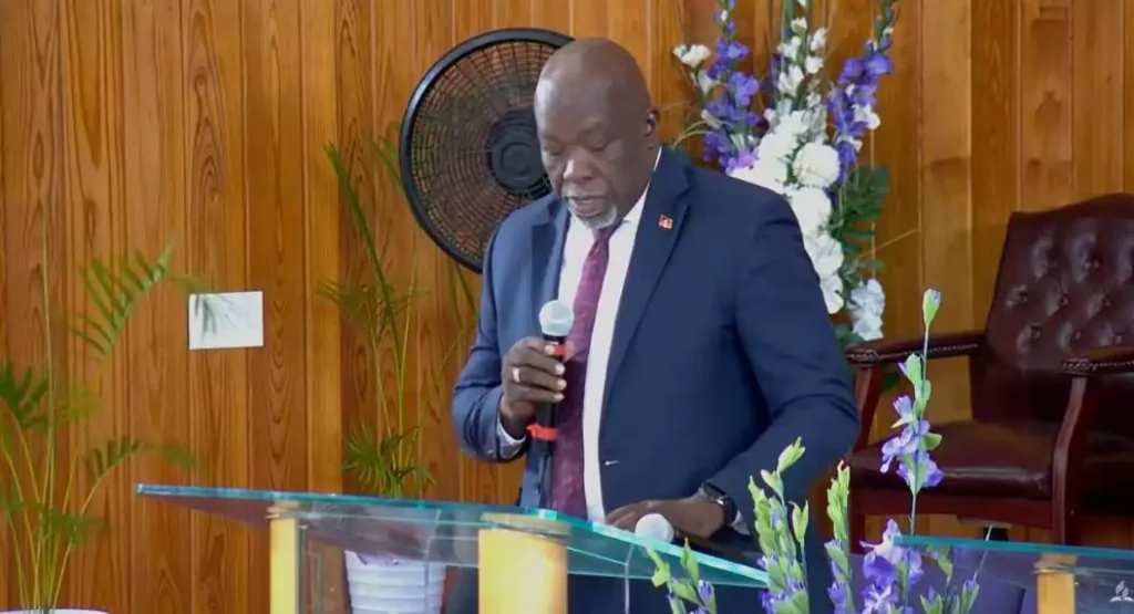
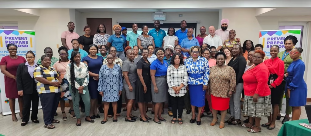
He made the comments at the Spatial ArcGIS User Conference at the AC Marriott Hotel in Kingston on September 29. Holness said geographic information has played an important role in guiding interventions across Jamaica.
Using Data to Target Crime
According to the Prime Minister, the Government used geographic data when it introduced Zones of Special Operations (ZOSOs) in 2017. The move followed a period of increased murders and other criminal activity.
Holness said crime was not evenly distributed across the island at the time. Authorities therefore needed to understand where criminal activity was concentrated.
The data identified 20 communities where murder rates had historically been high and continued to increase. Those communities subsequently became ZOSO areas.
GIS has also helped security forces better understand patterns connected to shootings, murders and other criminal activity. This information allows resources to be positioned in areas where they are most needed.
Jamaica Expands Intelligence-Led Approach
Holness said GIS remains important to Jamaica’s efforts to disrupt gang activity through targeted and proactive interventions.
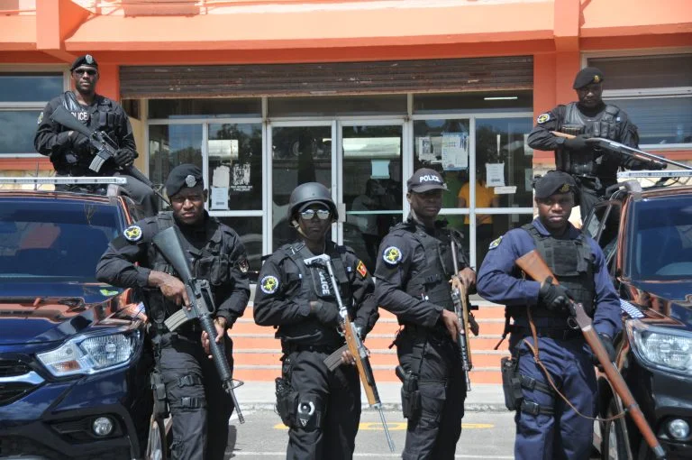
He explained that geographic intelligence helps authorities determine where security resources should be deployed and supports decisions involving the movement of the security fleet.
The Prime Minister said